Intro to Streaming - Imagery
Overview
The Streaming - Imagery API uses the Open Geospatial Consortium (OGC) API services Web Feature Service (WFS), Web Map Service (WMS) and Web Map Tile Service (WMTS) to provide RGB imagery and metadata ready for use in a map-like interface. For example, the Streaming API provides the imagery displayed in the Vantor Hub web application and is ideal to use as an imagery layer in GIS software. A single request can return display data showing one or more image products stacked together.
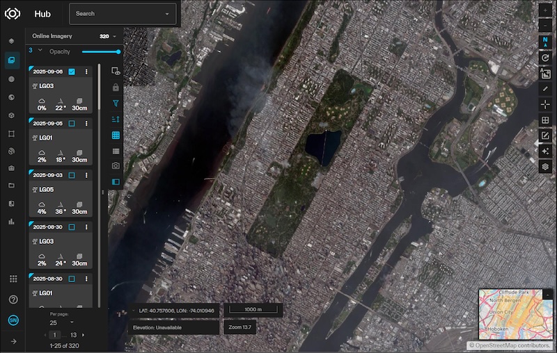
Vantor Hub uses the Streaming - Imagery API WFS endpoint to search for suitable images, and the WMTS endpoint to render the images in the map.
Users who want to display a seamless imagery base layer in an interface will want the Streaming - Basemaps API instead. To obtain imagery not formatted for screen display, consider ordering images as files through the Ordering API or reading image data directly from the Raster Analytics service.
The images available to display are sourced from:
- Global Production Standing Orders (Global Daily Take):
A selection of imagery that meets usability criteria for low clouds, optimal view angle, and other conditions. - FirstLook™ Imagery (Crisis Events):
Additional imagery relevant to current events where visibility conditions may be less than ideal but any image is valuable even if it does not meet the standing order criteria.
For more information on these product lines, see below. Some accounts may have access to additional layers beyond the two above.
API Basics
Base URL: https://api.maxar.com/
Latest API Version: v1
Authentication
The Streaming - Imagery API accepts an OAuth2 bearer token or API key for authentication.
OGC Services
Click a link in the "Documentation" column of this table to access API documentation for each OGC service.
| Service | Description | URL Path | Documentation |
|---|---|---|---|
| Web Feature Service (WFS) | Provides the vector geometry and attributes of a feature in Geographic Markup Language (GML) format. | /streaming/v1/ogc/wfs | WFS Guide |
| Web Map Service (WMS) | Returns a map image in a standard image format. Images can be filtered by feature metadata. | /streaming/v1/ogc/wms | WMS Guide |
| Web Map Tile Service (WMTS) | Returns pre-generated images as map tiles. This service is optimized for faster server response times. | /streaming/v1/ogc/gwc/service/wmts | WMTS Guide |
Layers and Feature Types
Image footprints and metadata can be searched and retrieved from the WFS endpoint using the Maxar:FinishedFeature feature type.
For images requested from the WMS and WMTS endpoints, use the Maxar: Imagery layer name and the raster style.
Integrations
-
Leaflet Map: Tutorial: Creating a Leaflet Map with WMS
-
QGIS Integration: Tutorial: Integrating with QGIS
-
ArcGIS Pro Add-in: ArcGIS Pro Add-in user guide
Data layers
Global Production Standing Orders (Global Daily Take)
Newly collected images that meet the criteria for a global production standing order are automatically produced once the imagery is received from a satellite. This imagery is hosted in the Online Imagery Catalog as part of the Global Daily Take layer.
Daily Take imagery has the following attributes:
| Attribute | Value |
|---|---|
| Sensor | GeoEye-1, QuickBird-2, WorldView-1, WorldView-2, WorldView-3 VNIR, WorldView-3 SWIR, WorldView WorldView Legions 1-6 |
| Cloud Cover | <50% between 10°N and 10°S; <35% elsewhere |
| Off Nadir Angle (ONA) | Less than 35 degrees, up to 40 degrees in some locations |
| Sun Elevation | No limit |
Daily take imagery meets the following production parameters:
| Production Parameter | Value |
|---|---|
| Processing Level | Level 3D orthorectified image strips where fine DEM is available. Level 2A orthorectified images strips where fine DEM coverage is not available or ONA > 30 |
| Spatial Resolution | Panchromatic at Nadir GSD: 30cm - 100cm (native) (0.4m over Israel), GeoEye 1: 41 cm, WorldView 1: 50 cm, WorldView 2: 40 cm, WorldView 3: 30 cm, WorldView 4: 30 cm, WorldView Legion: 30 cm |
| Accuracy | Typically <8.4m CE90 for Level 3D processed images. Level 2A processed imagery does not provide CE 90 metadata |
| Spectral Bands | Panchromatic (WorldView-1) or 3 band (RGB) pansharpened. Some imagery is produced as color infrared (NRG) |
| Bits per pixel | 8 |
| Dynamic Range Adjustment (DRA) | Yes |
| Resampling Kernel | MTF (panchromatic) |
| Projection; Datum | Geographic (strips), WGS84 |
Daily take images are identified in the metadata as having a productName of DAILY_TAKE
FirstLook™ Imagery (Crisis Events)
FirstLook™ imagery supplements the Daily Take by providing imagery over areas identified as qualifying natural disasters and human-interest events. When a FirstLook event is identified, Vantor typically tasks a satellite(s) with new imagery of the event.
A FirstLook image is identified in the metadata as having a productName of CRISIS_EVENT