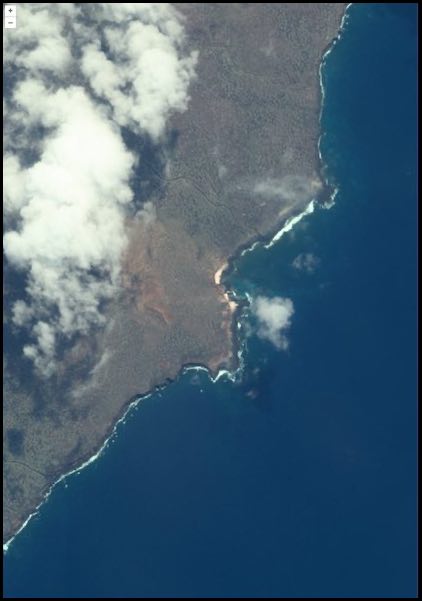
How to view a virtual GeoTIFF in OpenLayers
Note: This example uses the ortho-with-overviews IPE Script because it is suitable for visualization at any map scale.
Starting with the OpenLayers official documentation here, change the URL in the COG example to:
const source = new GeoTIFF({
  sources: [
    {
      url: 'https://api.maxar.com/analytics/v1/raster/ortho-with-overviews/geotiff?function=ortho&p=collect_identifier=%2210300100E3AA2C00%22&p=crs=%22EPSG:4326%22&p=bands=%22red,green,blue%22&p=interpolation=%22Bilinear%22&p=dra=true&maxar_api_key=<YOUR_KEY>',
    },
  ],
});
