NOTE Effective January 31, 2026, ARD will no longer be available as an API programmatic ordering option for imagery through our platform. See the deprecation notice.
Panchromatic Image
Overview
An ARD panchromatic image is a single-band black and white image that has been minimally processed for analytics. The following pre-processing steps are applied:
- Atmospheric compensation
- Orthorectification to native resolution, as captured by the sensor
Panchromatic images are saved as Cloud Optimized GeoTIFF (COG):
- processed using GDAL's
COGoutput format using default settings DEFLATEcompression- NoData pixels are encoded in a mask band
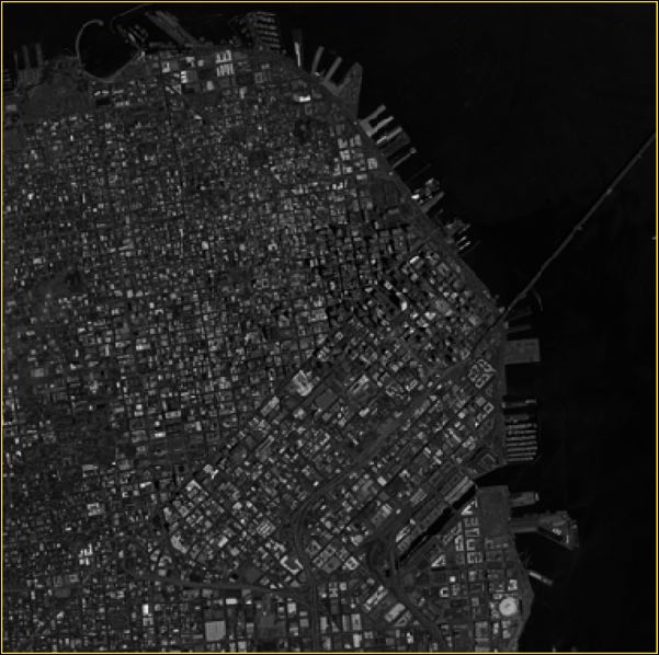
Example image
This is an example of a panchromatic ARD image over San Francisco, CA USA.
Bands
Panchromatic (black and white) imagery has a single band:
| band name | description |
|---|---|
| BAND_P | pan |
File information
File type: Raster GeoTIFF
File name: {acquisitionID}-pan.tif
File path: bucket or location/prefix/UTM zone/quadkey/acquisition date/