Sample Projects
Sample Projects demonstrate how to integrate with APIs and services. Clone the Github repository to explore the code or use it as a starting point for your own project. Learn more about each project from the "ReadMe" in the code repo. Some projects include a Jupyter Notebook for Python users.
Need help? Contact us at support@vantor.com or create an issue in the Github repo.

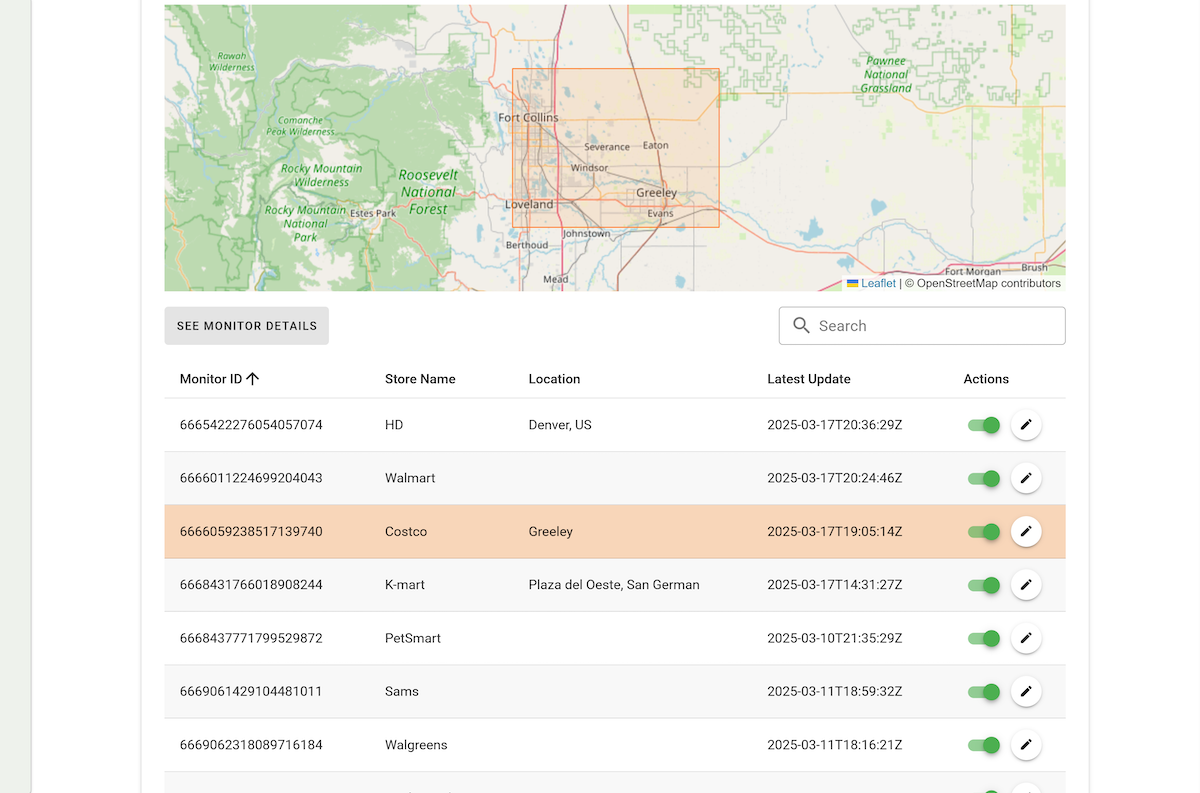
Monitoring Events
Set up and manage geospatial monitors to track imagery and events using the Monitoring API.

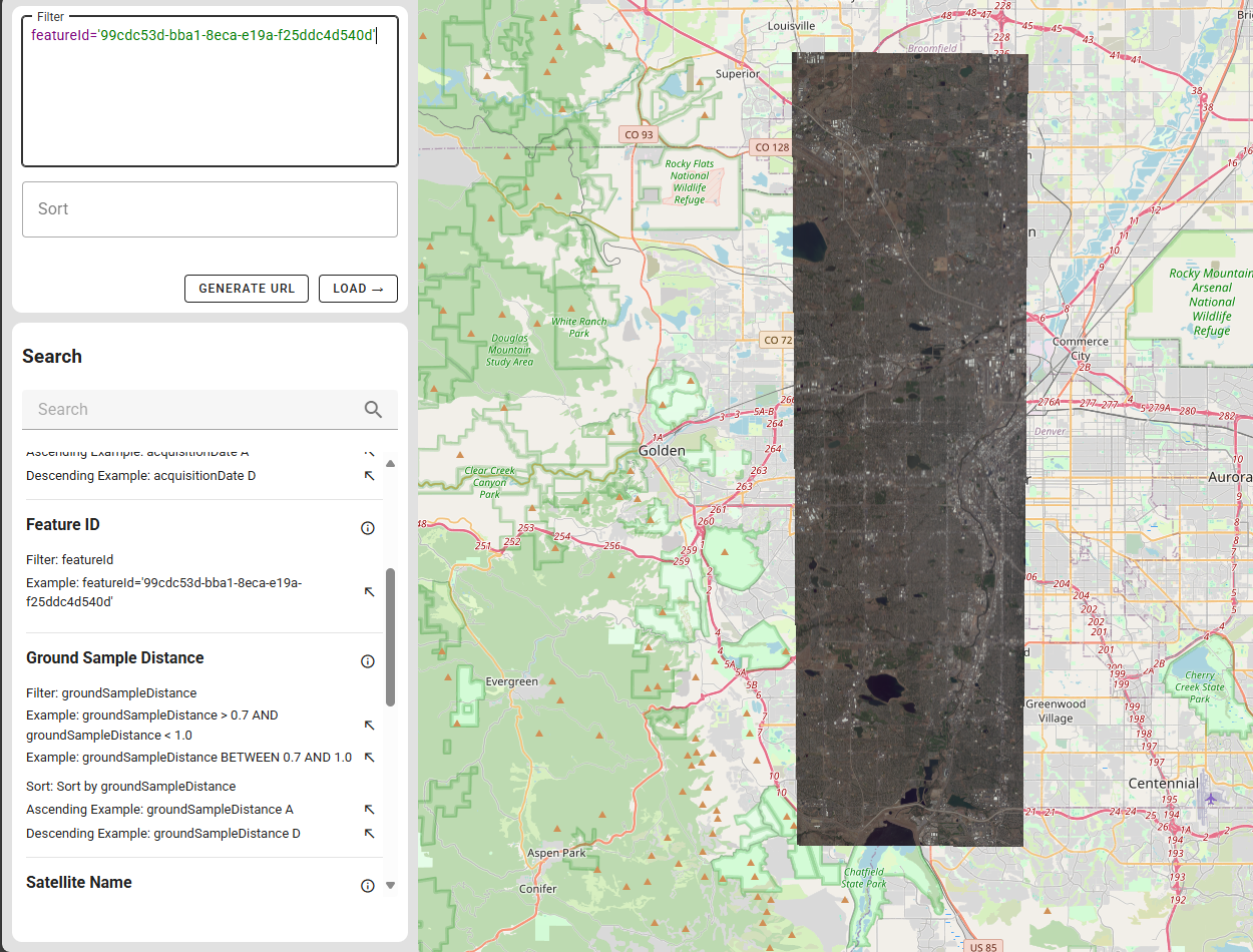
CQL Playground
Further explore and analyze Online Streaming imagery by filtering and sorting images with WFS and WMS.

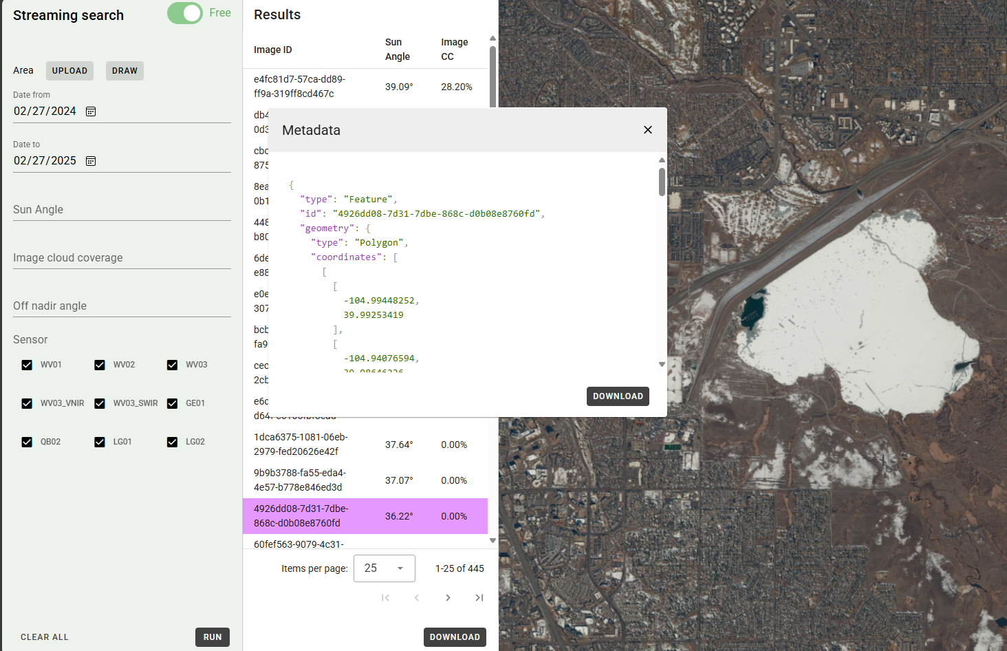
Streaming Search
Delivers RGB imagery and metadata via OGC services for display, layering, and mapping in GIS software.

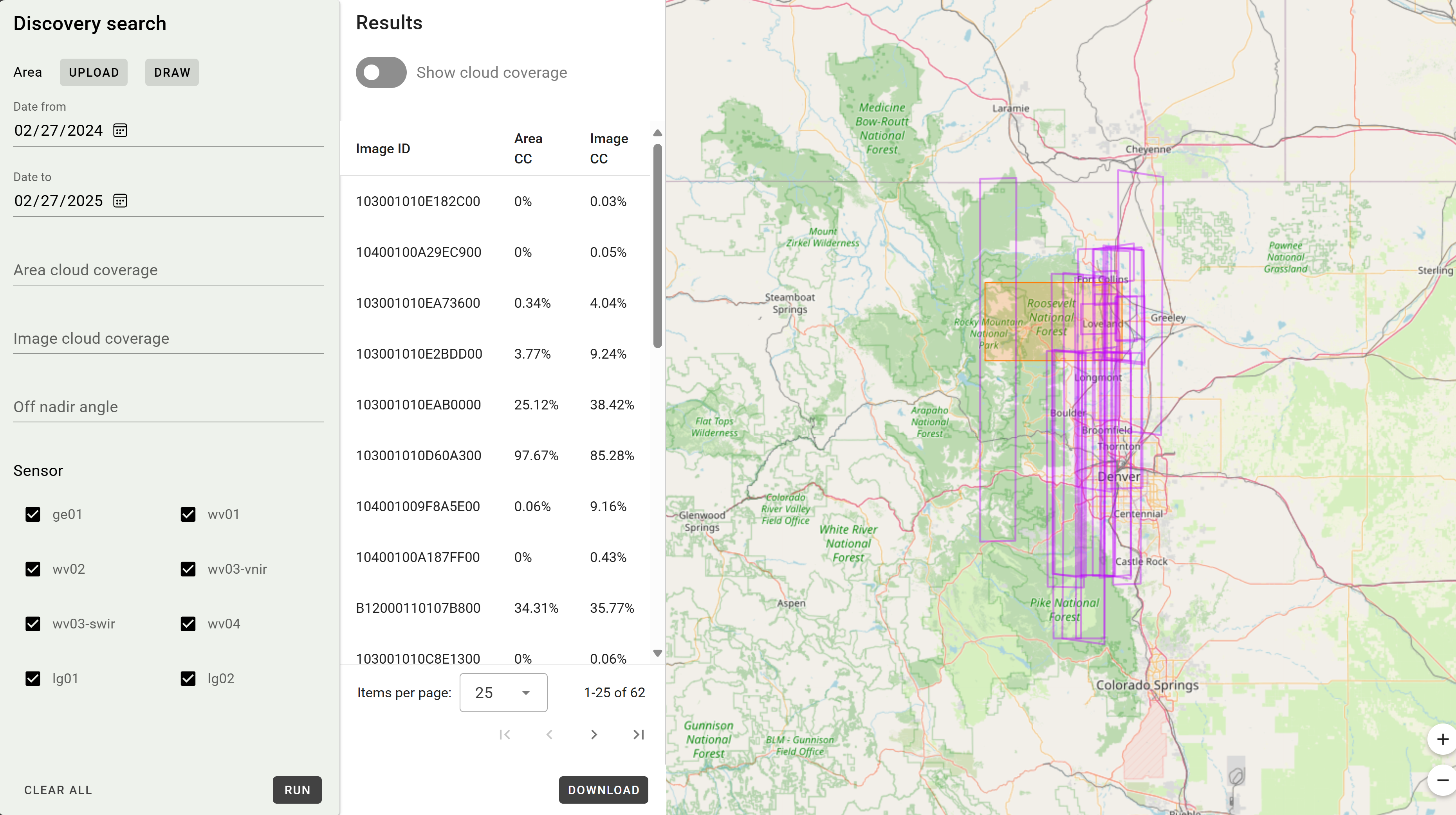
Discovery Search
Search, filter, and sort Maxar's catalog using STAC and GeoJSON metadata, with links for ordering or streaming.